November 2024. I'm standing at 2,430 meters on a ridge above the Urubamba Valley, staring at Machu Picchu. Like millions before me, I'm blown away. Unlike most of them, I have an iPhone with a LiDAR sensor in my backpack.
I'd been annoyed for a while by how hard it is to find downloadable 3D data of major archaeological sites. You get blurry photogrammetry on Sketchfab, paywalled academic datasets, or just nothing. Try finding a 3D model of the Sacsayhuaman walls. Go ahead, I'll wait. There isn't one.
So I made one.
What I did
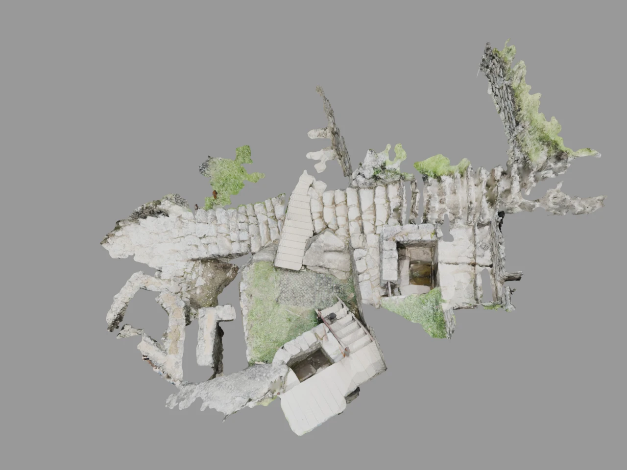
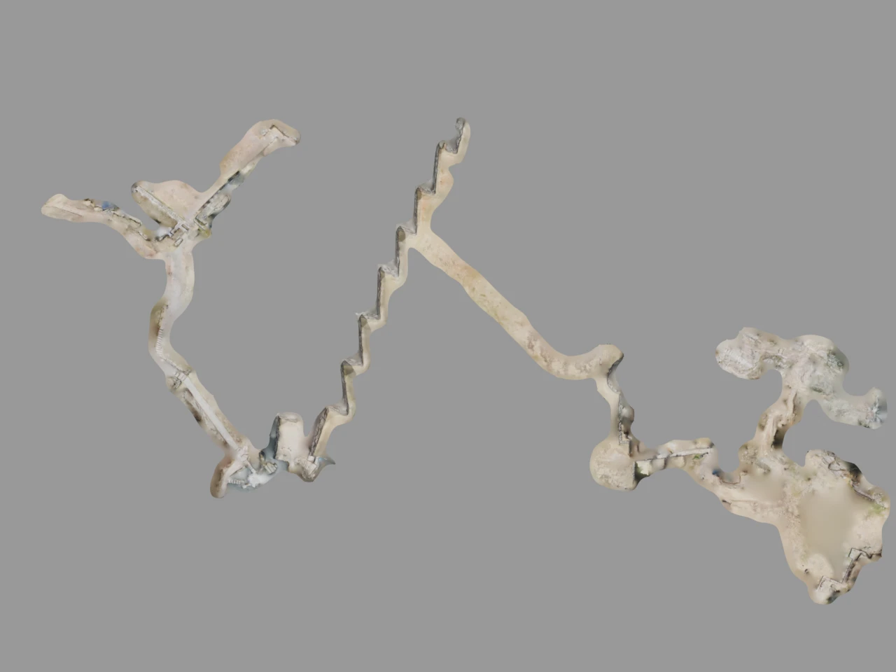
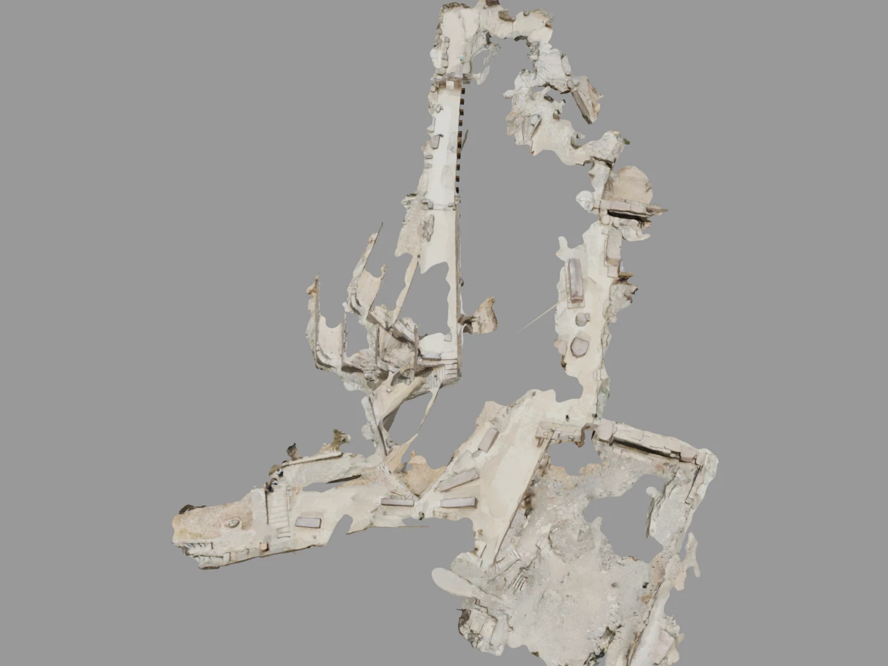
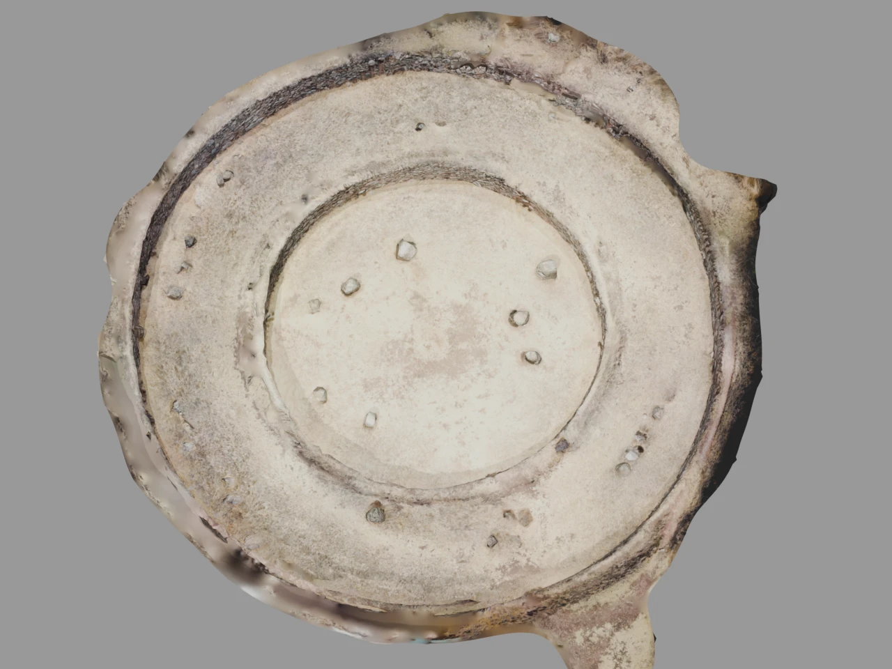
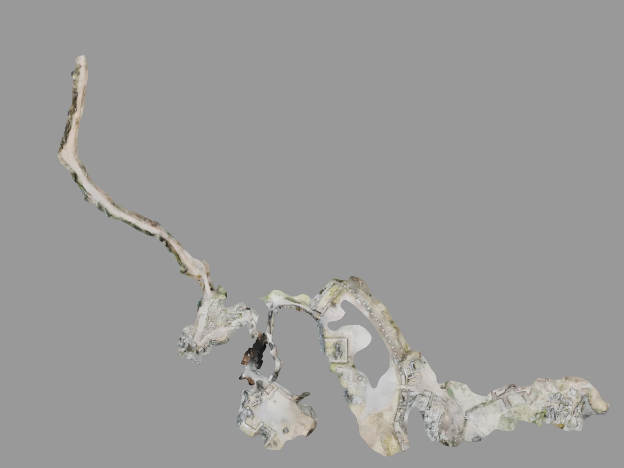
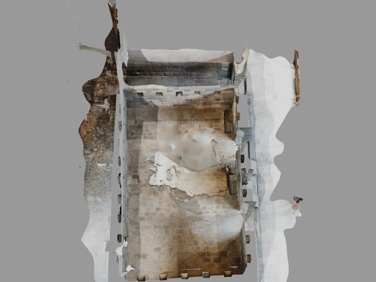
During a trip across Peru, I scanned 13 archaeological sites with the LiDAR sensors on an iPhone. Machu Picchu alone got 15 separate scans: walls, terraces, the astronomical observatory, individual stone joints where you can see exactly how blocks interlock without mortar. I captured the polygonal walls of Sacsayhuaman (blocks up to 200 tonnes, and no, I still don't understand how they moved them), the concentric terraces of Moray, what's left of Qorikancha's walls after the Spanish stripped the gold off, the still-functioning aqueducts at Tipon. I also scanned the Sitamarhi Caves in Bihar, India.
47 scans. 14 sites. 2 countries. 17 GB of raw 3D data.
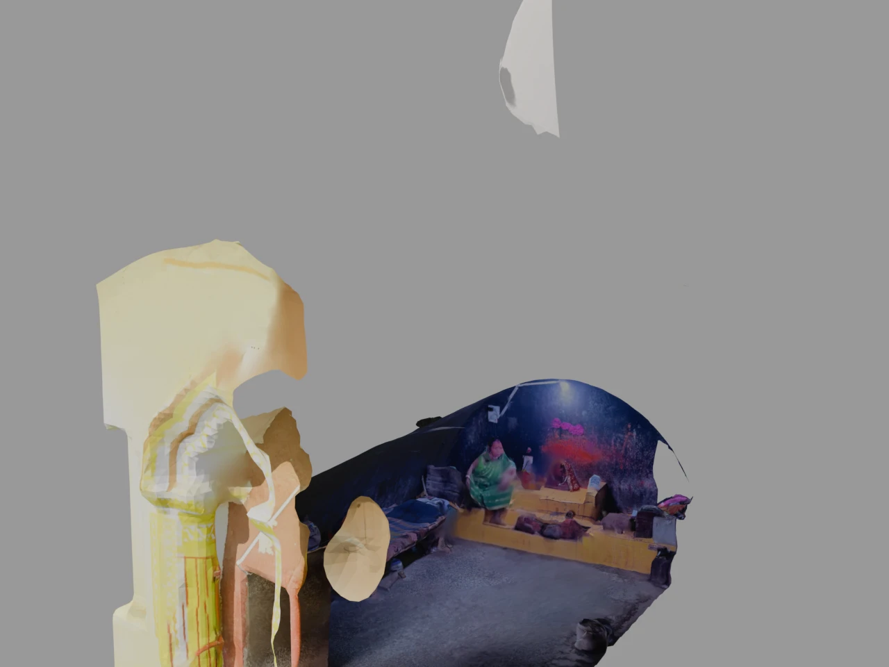
Every scan is interactive. You rotate and zoom in your browser, no app needed.
The sites
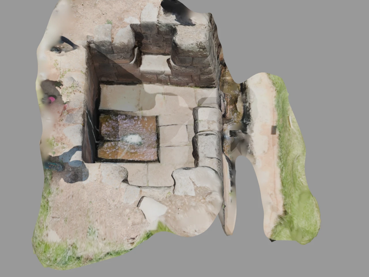
Peru, 13 sites. Machu Picchu has 15 scans covering walls, terraces, and the Intihuatana solar clock. Sacsayhuaman has its megalithic zigzag walls stretching 600 meters. Ollantaytambo got 8 scans across the fortress, the Temple of the Sun monoliths, and the water channels. Qorikancha is the Temple of the Sun in Cusco. Chinchero is the royal estate of Tupac Inca Yupanqui, sitting at 3,762 meters. Moray has those eerie circular terraces with 15°C temperature swings between levels. Tipon is pure hydraulic engineering, aqueducts that still carry water today. Q'enqo has zigzag channels and subterranean chambers carved into raw limestone. Puka Pukara, the Red Fortress, was a checkpoint on the road to Antisuyo. Amaru Punku is the Gate of the Serpent near Ollantaytambo. The Bath of the Ñusta is a ceremonial fountain where water channels are cut into a single rock face. I also captured some street-level Inca walls in Cusco itself, and the Intihuatana observatory stone at Machu Picchu as a separate scan.
India, 1 site: the Sitamarhi Caves in Bihar, rock-cut caves tied to the Ramayana.
Why an iPhone?
Professional terrestrial LiDAR scanners cost $50K+ and take hours to set up per scan. The iPhone sensor does it in minutes. The resolution is lower, obviously. But I could scan a wall section between tour groups, in rain, while hiking between sites. Speed and portability won over precision.
The tech stack
Each scan is exported as GLB for browser viewing and USDZ for AR on iOS. Source files are available in STL, XYZ point clouds, PLY, DXF, DAE, FBX, and OBJ. 204 files total.
The viewer is a custom Three.js fullscreen viewer I built. No iframe, no third-party embed. DRACO-compressed GLB files load straight in the browser. The 17 GB of assets sit on Cloudflare R2 behind a CDN. The site runs on Netlify. Everything is static. No backend, no login. Click a scan, it loads.
Download everything
All files are free. Every scan card has download buttons for GLB, USDZ, STL, XYZ, PLY and more.
Licensed under Creative Commons BY-NC-SA 4.0. Credit me, don't sell them, share derivatives under the same terms.
What's next
Easter Island, Bolivia and Turkey are on the list. We'll see when that happens.